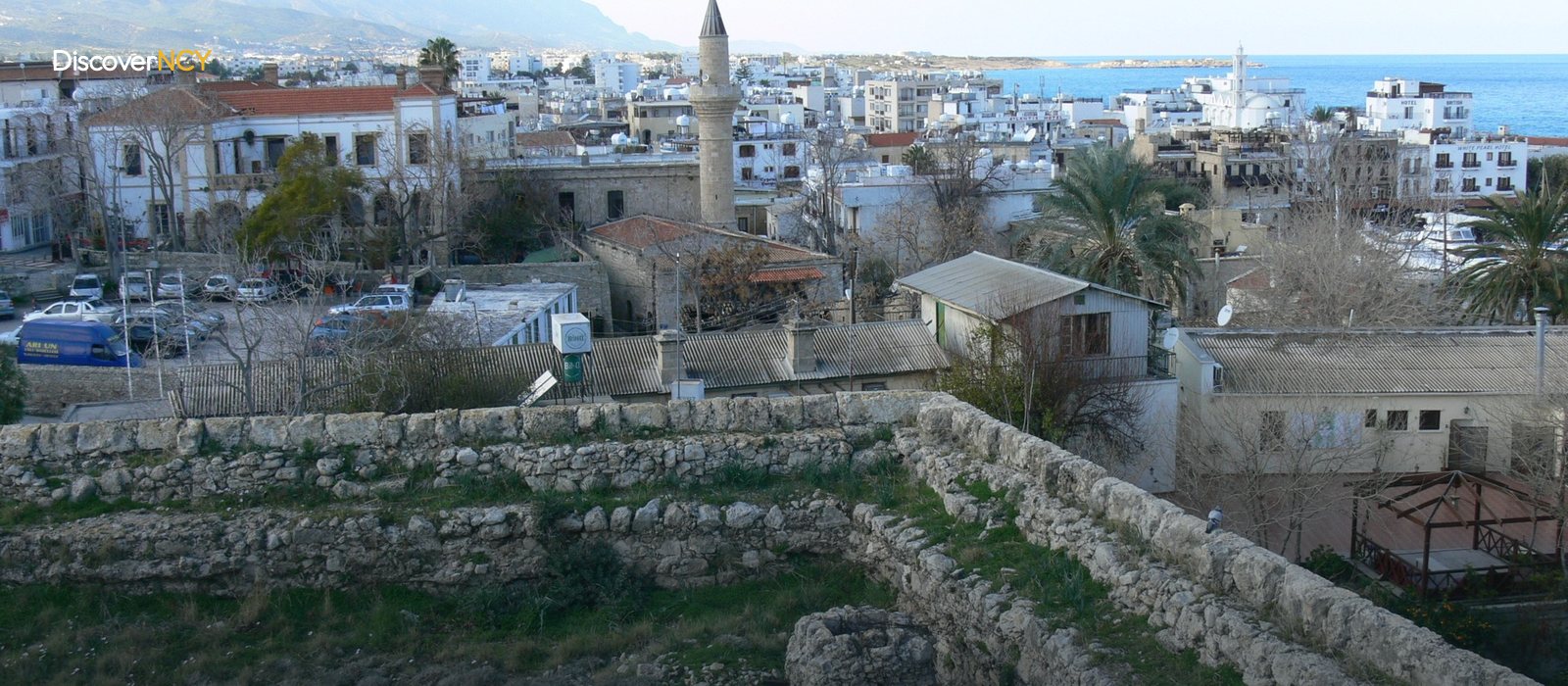
Kyrenia Old Town: A Walking Guide to the Narrow Lanes
📍 Old Town, Kyrenia
The narrowest street in Cyprus is about two metres wide and shares the same bazaar fabric as the town's busiest shopping street. The area we call Kyrenia old town was built precisely between these two extremes, so if you think of it as a straight route you will go wrong at the very first corner. The Old Harbour, the castle and the bazaar hold the three corners, and the link between them is made by narrow stone-paved lanes. Finding your way here works not by street signs but by which way the slope runs. Your compass is the buildings.
Harbour Below, Bazaar Above
The old town sits on three points. The castle is at the eastern end where the harbour ends; the bazaar rises just behind the harbour. In addition, the shoreline between the two is generally called the Kordonboyu, and today it is a row of restaurants and cafes from end to end. Because the ground rises from sea level towards the bazaar, the moment you lose your bearings a glance at the slope is usually enough: a lane running downhill takes you to the harbour, a lane climbing uphill takes you to the bazaar. If that much stays in your head, you will not need to look at a map.
The backbone of the bazaar side is Ziya Rızkı Street, the town's busiest shopping street, and most of the lanes leading off it are stone-paved or cobbled. Choice of footwear here can stop being a matter of style.
A Mosque and a Fountain on a Stone Slope
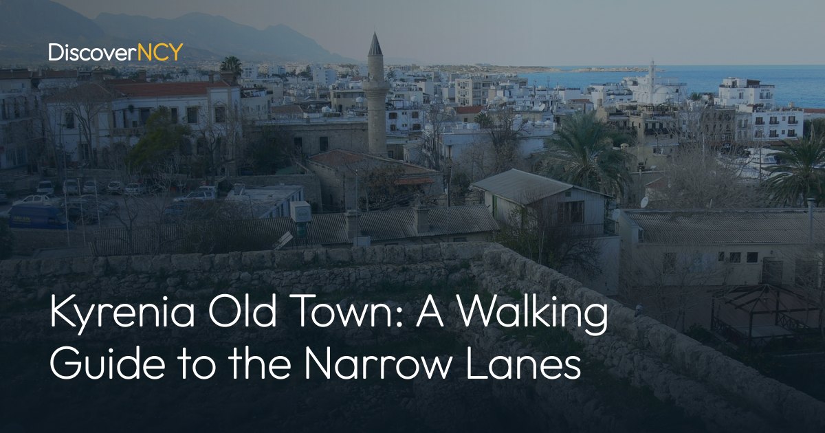
On one of the stone-paved slopes climbing from the harbour to the centre stands the Ağa Cafer Pasha Mosque, and it is from this building that you most easily get your bearings in the old town. The mosque was built in 1589-1590 by Ağa Cafer Pasha, the Ottoman governor (muhassıl) of Cyprus at the time, and under a foundation deed dated 1599 numerous farms and olive groves were endowed to the mosque's foundation. It is a rectangular building of yellow dressed stone, with a single-balcony minaret rising at its north-west corner. There is an arched portico at the entrance. Since the minaret is one of the structures visible from a distance in the old town, it counts as a fixed marker you can look to when you lose your way among the lanes.
The building's present silhouette is not the original. The mosque was initially domed; when it was repaired between 1878 and 1880 under the British administration the dome was replaced by a flat roof, so the roof you see above is British-period work, not Ottoman. Before 1974 it suffered EOKA-related damage and stayed closed for a time; after repairs it reopened for worship in 1975, and today it is an active mosque owned by Evkaf (the Cyprus Foundations Administration); moreover it is one of the two oldest mosques in the town centre and the largest of Kyrenia's three places of worship.
To the south-east of the mosque stands a square-plan, three-arched public fountain, where worshippers coming to the mosque once performed their ablutions. It is a barrel-vaulted structure with a cistern. According to its marble inscription the fountain was built as a charitable work by Hasan Kavizade Hüseyin Efendi on 16 November 1841, which is why the structure goes by two names. The stone staircase to its west is the work of another era: it was built by Cemal Bey, Kyrenia's last Ottoman district governor, and Abdül Efendi, the last Ottoman mayor, as part of a town improvement scheme.
Where Is the Narrowest Street in Cyprus?
That street is called Trypiti Street and it lies right inside the bazaar fabric. Why has a street of this size still not been widened? Because the area is on the boundary of a first-degree conservation zone, and facade restorations here are carried out under the supervision of the Department of Antiquities and Museums.
For anyone arriving by car the picture is complicated. In the lanes of Kyrenia old town, street widths decide how far a car can go. Kyrenia Municipality is working to increase parking capacity in the area; the plan includes multi-storey car parks for more than 1,200 vehicles in areas such as the New Harbour and Kervansaray, and a surface arrangement for around 110 vehicles inside the bazaar. The same transport plan also covers pedestrian crossings and the reorganisation of 27 junctions. Even so, leaving the car on the edge and walking is more practical for most visitors.
The Shifting State of the Covered Market
The covered market building known as the Bandabuliya stands inside the old bazaar within walking distance of the historic harbour, and in this British-period building the town hall and the market area were originally conceived together. From the 1980s, as modern supermarkets spread, the classic market function weakened. With a 2005 refurbishment the space was turned into an area focused on handmade products and gastronomy, making room for local cooperatives with products such as jam and woven textiles.
The building's future is currently being redrawn. On 15 September 2026 a protocol was signed between the Ministry of Tourism, Culture, Youth and Environment and the Turkish Cypriot Women Entrepreneurs Association under the "Kyrenia Bandabulya Gastronomy and Culture House Project"; it was signed by Minister Fikri Ataoğlu and association president İçim Kavuklu Çağıner. The protocol is built around the supply of kitchen equipment; its aims are preserving local gastronomy and vocational training for women entrepreneurs, and no completion date has been given.
The municipality's weekly open-air market is held in a separate area from this building, usually on Wednesdays, and first opened on 20 May 2020. Since the day can shift, it is worth confirming the schedule with the municipality before you set out.
What Remains at Baldöken
In the centre, inside or right next to a park and car park area, you will see a dressed-stone structure with an open-topped dome. This is the Baldöken Cemetery. The site came into use from 1571, when the Ottomans took the island. In the sixteenth century it served as a military cemetery, in the nineteenth it became the burial ground of the poor, and traces of Roman and Byzantine remains have also been found on the same site. What survives today is limited: beside a few graves stand a water cistern and a tomb. Whose tomb is it? It is believed to belong to Halil Dizdar of Kyrenia, who was executed in the eighteenth century. Kyrenia Municipality and the Cyprus Evkaf Administration have put up signs reading "Ottoman Baldöken Cemetery" and "Sheikh Seyyid Efendi Water Cistern" at the site, and the surroundings have been landscaped.
There are two old church buildings on the same line. Between Baldöken and the castle stands St. Andrew's Anglican Church, built in 1913, and the line between those two points makes it easier to keep your bearings in the old town. Chrysopolitissa, considered the oldest church in the town, is a ruin; its roof collapsed years ago and the interior is closed to worship. Its north door is Gothic in style and is thought to date from the Lusignan period.
Walking in a First-Degree Conservation Zone
This place is important and protected because the Old Harbour and its surroundings form a first-degree conservation zone, and excavations and facade restorations in the area are carried out under the supervision of the technical staff of the Department of Antiquities and Museums. You can see the street-level counterpart of this underfoot. The Old Harbour's paving renewal project went out to tender on 24 September 2022, the contract was signed in December, and the concrete surface was removed and replaced with cobblestones. The Kyrenia Conservation Area Plan, meanwhile, is being updated through the joint work of the municipality, the Town Planning Department and the Supreme Council of Monuments.
The same conservation logic also shapes the inside of the buildings. Some of the stone mansions in the old town have been restored and converted into small-scale hotels. It is worth bearing this in mind when planning a walk around Kyrenia old town, because what a building is used for is not written on its facade. Nor is there an official list drawing the old town's boundary neighbourhood by neighbourhood.
| Point | Location | Period | Current state |
|---|---|---|---|
| Ağa Cafer Paşa Mosque | The stone slope climbing from the harbour to the centre | Built 1589-90, repaired 1878-80, reopened 1975 | Working mosque, Evkaf (the Cyprus Foundations Administration) |
| Cafer Paşa (Hasan Kavizade Hüseyin Efendi) Fountain | Southeast of the mosque | Inscription dated 1841 | Square fountain, visible from outside |
| Baldöken Cemetery | Centre, within the park and car park area | Roman-Byzantine traces, Ottoman after 1571 | A few graves, a cistern and a tomb, signposted |
| Chrysopolitissa Church | Inside the old town | Lusignan period (estimated) | Ruin, roof collapsed, closed to worship |
| St. Andrew's Anglican Church | Between Baldöken and the castle | 1913 | Location and date confirmed |
| Bandabuliya | Inside the old bazaar | British-period building, restored 2005 | Undergoing conversion, number of open shops varies |
| Trypiti Street | Within the bazaar fabric | — | Cyprus's narrowest street, ~2 m |
For the bay where the walk begins see our Kyrenia old harbour article, for its eastern end Kyrenia Castle, and for the wider picture of the town our Kyrenia travel guide.