Cape Kormakitis (Koruçam) and the Maronite Villages
📍 Koruçam (Kormakitis), Kyrenia
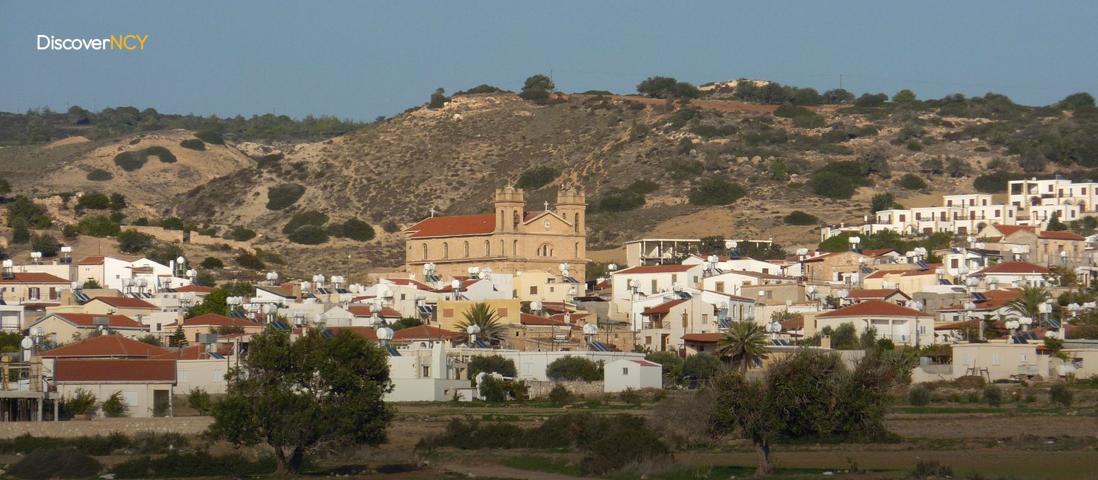
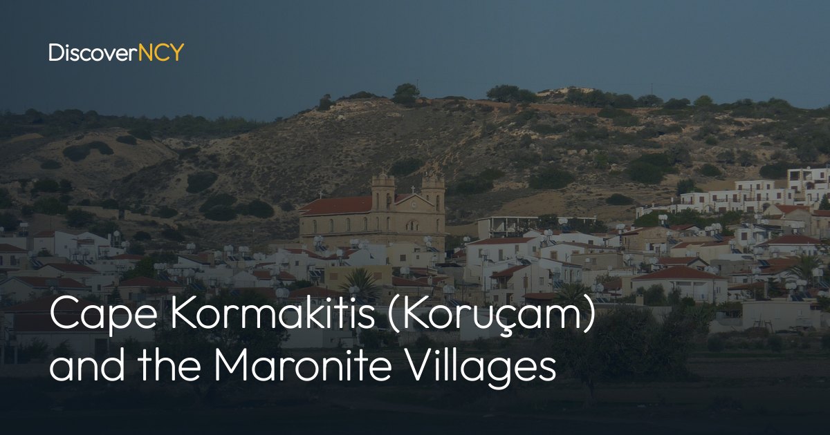
In Koruçam (Kormakitis), the 1960 census surprisingly recorded 1,111 people, while the 2011 census counted 309 people in the same village… The half-century in between shows the decline in the population of this village, which gives Cape Kormakitis its name. The village was once the largest of the four Maronite villages in Cyprus; the others were emptied after 1974, their residents moved to the South, and Koruçam remains as the only Maronite village living within the borders of the TRNC. The written form of the language spoken in the village for centuries, meanwhile, did not exist until twenty years ago. Let's move on to our article in which we have compiled the details about Cape Kormakitis.
The Cape Takes Its Name from the Neighbouring Village
The cape is a promontory extending into the sea on the northwestern coast of Cyprus and marking the northern tip of “Morphou Bay”, and it is called “Akrotirio Kormakiti in Greek”. In English sources it appears as “Cape Kormakitis”, and in ancient sources as Krommyon. The cape took its name from the nearby village. Sources show Kyrenia as the nearest coastal town, and the village lies about 34 kilometres west of Kyrenia. From hikers' point of view this is the starting point, because the first step of the 255-kilometre “Kyrenia Mountains (Beşparmak) Trail” is taken right at this point, and the trail crosses the island from end to end, ending at Cape Apostolos Andreas (Zafer Burnu) on the Karpaz Peninsula. The community's own website gives the first hiking stage starting from the cape as about 16 kilometres, and on this stage you can also see seashell fossils and the “St George of the Seed (Tohum Aziz Yorgi)” chapel, referred to as part of the Maronite heritage...
What Figures Do the Censuses Show?
Giving a single figure for the village's population is misleading. The numbers we have are data from different years and from different criteria; for example, in the 1960 census 1,093 of those in the village were Maronites, a figure that comes from Wikipedia's population breakdown. In the 1973 census the village had reached 1,257 people, meaning that the census just before 1974 showed about four times today's figure. United Nations data counted 165 Maronites in the village in 2001, while a 2008 UN report mentions about 120 people. The latest figure on the official side belongs to the 2011 census of the TRNC State Planning Organisation and is 309 people. “Cyprus Mail” also wrote about 300 people in March 2024. This gap is not as contradictory as it looks. While the UN figures cover only permanent Maronite residents, the official census counts everyone living in the village. The criterion changed, the figure changed.
There is one more distinction that stands out in the records we examined, and that is the difference between weekdays and weekends. Why are there more people in the village at the weekend? After visiting rules were relaxed after 2003, displaced former residents began coming to see their relatives and attend mass, and the village becomes crowded at weekends. We cannot say how large the crowd is, however, because this is a phenomenon mentioned in a single source and not supported by figures.
A Language Whose Script Was Established Twenty Years Ago
The established name of the language in Turkish is Cypriot Maronite Arabic. According to an AP report dated 29 May 2025, the community calls it “Sanna”, about 900 people in the world speak this language, and most of its speakers are over 55. The same report states that about 100 children have learned the language, that a summer camp has been set up and that teaching materials have been developed. Besides, the number of speakers varies depending on the source. Which figure should be taken as the basis? In the records we compiled, the only total with a clear year and source is the 900 given by AP; the other numbers circulating in sources are based on different years and different definitions. In 2024, “Cyprus Mail” wrote that most of the village's Maronites under fifty do not speak this language at native-speaker level...
Two Different Church Regimes in the Same Village
If you stop by the village after visiting Cape Kormakitis, you can see the difference in access between two churches. According to the US State Department's religious freedom reports, Maronite priests can hold services without permission in three functioning churches, and the “Church of St George” in the village centre is among them. The others are Timios Stavros on the Karpaz Peninsula and the Church of Panagia in Hisarköy. The church was completed in 1930. Its construction had begun in 1900. There are also older chapels in the village; sources date the Chapel of the Holy Virgin to around 1453, the Chapel of St George of the Nuns to 1534 and the Chapel of St George to 1852. The church in the village centre is a building separate from these three chapels, and the chapel on the hiking trail is separate from it as well. The village's feast of St George is also celebrated in this church, as you can see in local news dated November 2025.
The second church is not the same. The “Church of the Archangel Michael” lies within a military zone, and prior notification is required for entry. Here the two sides do not say the same thing. In the same reports, the Maronite community representative stated that the Turkish army continued to restrict access to this church and that the list of those attending Sunday mass was required to be submitted by the preceding Tuesday. The Turkish army side, on the other hand, stated that they only asked for prior notification and that no one had been refused entry. There is no way other than placing the two statements side by side as they are; we do not decide which one is true. On the other hand, let us note that this requirement is mentioned only for that church; the same reports state that services can be held without permission at the church in the village centre. If you are thinking of attending mass, take both statements into account and get confirmation from the official contact.
Access to the Cape and Lighthouse Needs Confirmation
On a visitor listing site there is a “Lighthouse” entry for the cape, but published information on the institution operating the lighthouse and whether the structure is open to visitors did not appear in the sources we could reach. Let's be clear. Confirm the access rules around Cape Kormakitis and the lighthouse from an official source. These rules themselves did not appear in the sources we reviewed, so before setting off, get information from an official contact such as the Lapta-Alsancak-Çamlıbel (LAÇ) Municipality or the tourism authorities. Repeat the same confirmation on site. Do not take second-hand information on photography and entry as a measure; only the official contact can tell you the rule in force. Let us note for you that a rule heard without confirmation is not enough to set off.
| Field | Value |
|---|---|
| Location | Cape Kormakitis (Koruçam Burnu), northwestern tip of Cyprus |
| Coordinates | 35°24′19″N 32°55′13″E |
| Ancient name | Krommyon |
| Administrative affiliation | Kyrenia district, LAÇ Municipality |
| Village's distance to Kyrenia | about 34 kilometres west |
| Schools in the village | kindergarten and primary school |
| Access to the cape and lighthouse | should be confirmed on site and from an official source |
We have described the rest of the trail starting from the cape in our Kyrenia Mountains hiking trails guide; for the southern shore of the bay, see our Morphou and Lefke travel guide.