Tatlısu (Akanthou): Village and Area Guide
📍 Tatlısu, Famagusta
Once you pass Esentepe, you will notice the number of cars on the coast road drop visibly. The sea stays on your right, the ridges of the Kyrenia Mountains (Beşparmak) sloping down eastward on your left, and for quite a while no junction sign appears. We noticed that this section of the road rarely gets a mention in travel itineraries. About forty kilometres east, at the point where the rocky shore opens here and there into small coves, you will see the village. Some who hear the name for the first time think of the holiday village in Balıkesir, but this Tatlısu is on the north coast of Cyprus, the settlement known by its old name of "Akanthou". Most visitors set aside a few hours, though for anyone wanting to see the ten-thousand-year-old excavation site, the coast and the Kantara turn-off, even half a day is tight.
Past Esentepe, the Road Empties Out
The distance to Kyrenia is around forty kilometres, and the same figure is repeated both on the municipality's history page and in the encyclopaedic source. What really makes the difference on the drive is not the distance but the unique texture of the coast. Most of the town's roughly twenty-two-kilometre shoreline is rocky, and the beaches appear as small coves scattered among the rocks. Don't expect a long band of beach; what you will find are separate pockets. The town's boundaries cover an area of sixty-six square kilometres, a significant part of it farmland, and administratively the village lies at the north-western tip of Famagusta district. After Tatlısu the coast road continues towards Kaplıca, a short section of ten to fifteen minutes by car. The emptiness has an official counterpart too: Tatlısu is the fifth municipality in Cyprus to join the Cittaslow network, and as the road clears you realise where the slow-city title comes from.
How Many People Live in the Village?
Population is one of those things that cannot be settled with a single figure here: while the official 2011 census shows one thousand four hundred and fifty-nine people, the municipality's own current statement speaks of around two thousand seven hundred. Roughly one thousand two hundred of this second figure are people who are not TRNC citizens. But which one should you go by? Since the two were produced by different methods at different dates, it is more accurate to take the 2011 census figure of one thousand four hundred and fifty-nine as the baseline and read the municipality's higher statement with some caution.
Nor is the history of this movement new. The municipality was founded in 1975, the village's name was changed from Akanthou to Tatlısu in that period, and all of today's residents are of migrant origin. Some came from the South, some from various cities in Turkey. In the nineteenth century the village's fame came from something else entirely: around two million halloumi (hellim) were produced a year and sent as far as İzmir and Alexandria. Today the backbone of the local economy is greenhouse farming, livestock, carob and olive growing, with fishing and tourism added on top later.
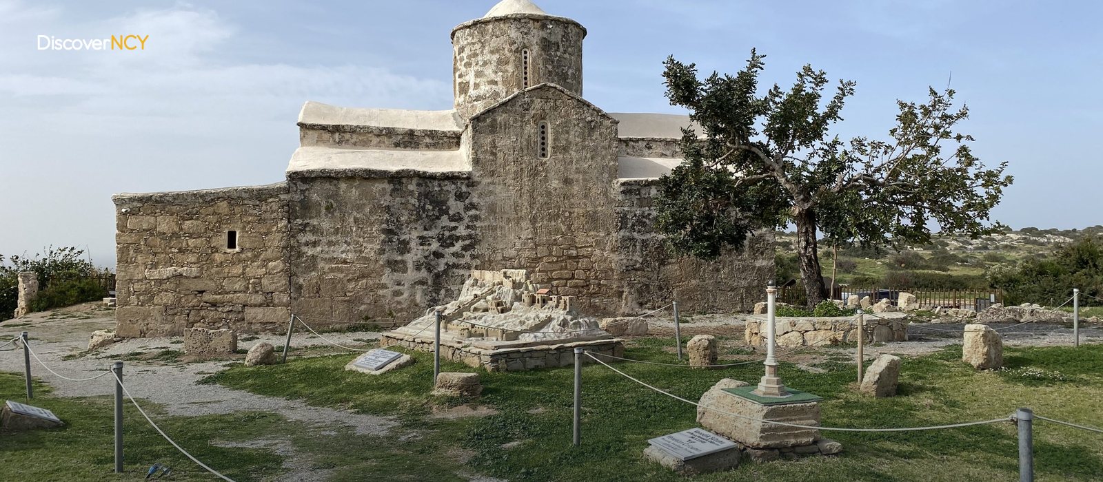
The mosque in the village centre was converted from an old Greek Orthodox church. This building should not be confused with the Panagia Pergaminiotissa Church about five kilometres east of the village, because that one is still a church and was restored in 2009.
A Ten-Thousand-Year-Old Coastal Settlement at Çiftlikdüzü
The village's real surprise stands a little inland from the shore, at the site known as Çiftlikdüzü. Referred to in the academic literature as Akanthou-Arkosykos, this is a coastal settlement dated roughly between 8200 and 7700 BC, which is also why it is spoken of as the TRNC's first scientific excavation. How solid is this dating? Müge Şevketoğlu, who leads the dig, published the site together with Ian Hanson in the journal Environmental Archaeology in 2015, so the date rests on a peer-reviewed publication rather than a local claim.
Six structures of stone and mudbrick architecture were uncovered, some with plastered and painted walls and floors, and a wide ditch was found to the south of the settlement. The most striking group of finds, however, is obsidian. Over four thousand pieces were counted, and chemical analyses show that this glass came from Central and Eastern Anatolia, meaning the people living here ten thousand years ago had links with the opposite shore. The site has been documented through rescue excavations since 2000 and has held registered monument status since 2009. No visiting hours or entry arrangements have been announced, and the archaeopark the municipality has announced remains among the planned projects. It is worth asking in the village before you set out.
The Beach and the Turtle Season
The only established facility on the coast whose name can be confirmed is "Zambak Holiday Village". It is a simple place made up of a few villa-style bungalows, with its own restaurant set-up by the beach, and the same name appears on the municipality's project list together with a beach and picnic area. Anyone looking for a wider beach reaches Kaplıca Beach in ten to fifteen minutes by car.
The real question is who the beach is shared with. Tatlısu is one of the settlements named among Cyprus's official turtle nesting and conservation areas. For Caretta caretta the season begins with egg-laying in May; from July onwards the hatchlings start making their way to the sea, and it continues until mid-October. According to the Environmental Protection Department's announcement of June 2026, on these beaches people are asked not to be on the sand outside 08:00 to 20:00, not to dig the sand, not to plant umbrellas and not to use motor vehicles. The usual holiday plan of settling on the beach in the late afternoon doesn't work here. That same June, a local nature initiative claimed that heavy machinery had been used in one cove and that the nesting structure had been disturbed; no official statement confirming the claim was published.
Fifteen Kilometres to the Kantara Turn-Off
For the traveller arriving in Tatlısu, the second stop in mind is very often Kantara Castle. The castle sits at the eastern end of the same coastline, on the last high point of the Kyrenia Mountains. The recorded distance is around fifteen kilometres. The castle is reached by the route that branches off the Kyrenia-Nicosia road; for the road connecting from the Tatlısu side there is only a single record.
For those who prefer to stay in the village and walk, the good news is this: there is the "Tatlısu Trail", a demanding nine-kilometre course starting from the square and involving a long climb. The paragliding site the municipality completed in 2021, the Minia Cyprus Open-Air Museum and the restored watermill stand in the same area, and the ancient city of Molulos is also among the village's historic spots. The adrenaline sports centre is still on the list of planned projects; there is no facility on the ground yet. A traveller who sets out early in the morning can fit the excavation site, the beach and the Kantara turn-off into the same day; for anyone leaving in the afternoon, one of them drops off the list.
| Field | Value |
|---|---|
| Turkish name | Tatlısu |
| Former name | Akanthou (Ακανθού) |
| Location | North-west of Famagusta district, between the Kyrenia Mountains (Beşparmak) and the Mediterranean |
| Distance to Kyrenia | About 40 km to the east |
| Distance to Famagusta | No exact km figure recorded |
| Area | About 66 km² |
| Coastline | About 22 km, mostly rocky |
| Population (2011 official census) | 1,459 |
| Population (current municipal figure) | About 2,700 |
| Municipality founded | 1975 |
| Status | North Cyprus's 5th Cittaslow municipality |
| Neolithic excavation | Çiftlikdüzü / Akanthou-Arkosykos, 8200-7700 BC |
| Excavation director | Müge Şevketoğlu, listed monument since 2009 |
| Academic source | Sevketoglu & Hanson (2015), Environmental Archaeology 20(3) |
| Distance to Kantara Castle | About 14.8 km (single source) |
| Distance to Kaplıca | 10-15 minutes by car |
| Hiking trail | Tatlısu Trail, 9 km, difficult |
| Turtle season | May to mid-October, no access to the beach outside 08.00-20.00 |
For the castle at the eastern end of the coastline, see the Kantara Castle page; for the neighbouring village before the road empties out, our Esentepe village guide; and for mountain routes like the Tatlısu Trail, our Kyrenia mountains hiking article.