Esentepe Village Guide
📍 Esentepe, Kyrenia
On 14 September 1998, a fifteenth-century icon of the Virgin Mary was returned from Athens to Cyprus. Fifteen years later, four icon panels made the same journey from the Netherlands, and both had set out from a single building: the "Antiphonitis Church" standing on the mountain side of Esentepe. This village, twenty-six kilometres east of Kyrenia centre, also appears in official records under its old name, "Agios Amvrosios". In the 2011 census, only 1,754 people lived in the settlement centre. As the coast road stretches east, the foot of the Kyrenia Mountains (Beşparmak) draws closer to the sea, and the village is built on exactly that narrowing strip. Anyone coming here therefore splits their plan in two from the start: how much of the day goes to the church in the mountains, and how much is left for the village itself.
Twenty-Six Kilometres East of Kyrenia
The coast road heading east from Kyrenia centre reaches the entrance to the village after thirty minutes under normal conditions. This twenty-six-kilometre route runs between the sea and the mountains. The Turkish name already describes that geography, meaning "breezy hill", while in Greek sources we found "Agios Amvrosios" given as the old name of the same settlement. On the administrative side things look a little tangled: although the village belongs to Kyrenia district, it has its own municipality and is today run through its own branch within the boundaries of "Çatalköy-Esentepe Municipality". This detail, which looks trivial on paper, determines which door you get services from, so it will come in handy when you ask for an address.
What Remains of Antiphonitis, and What Has Come Back
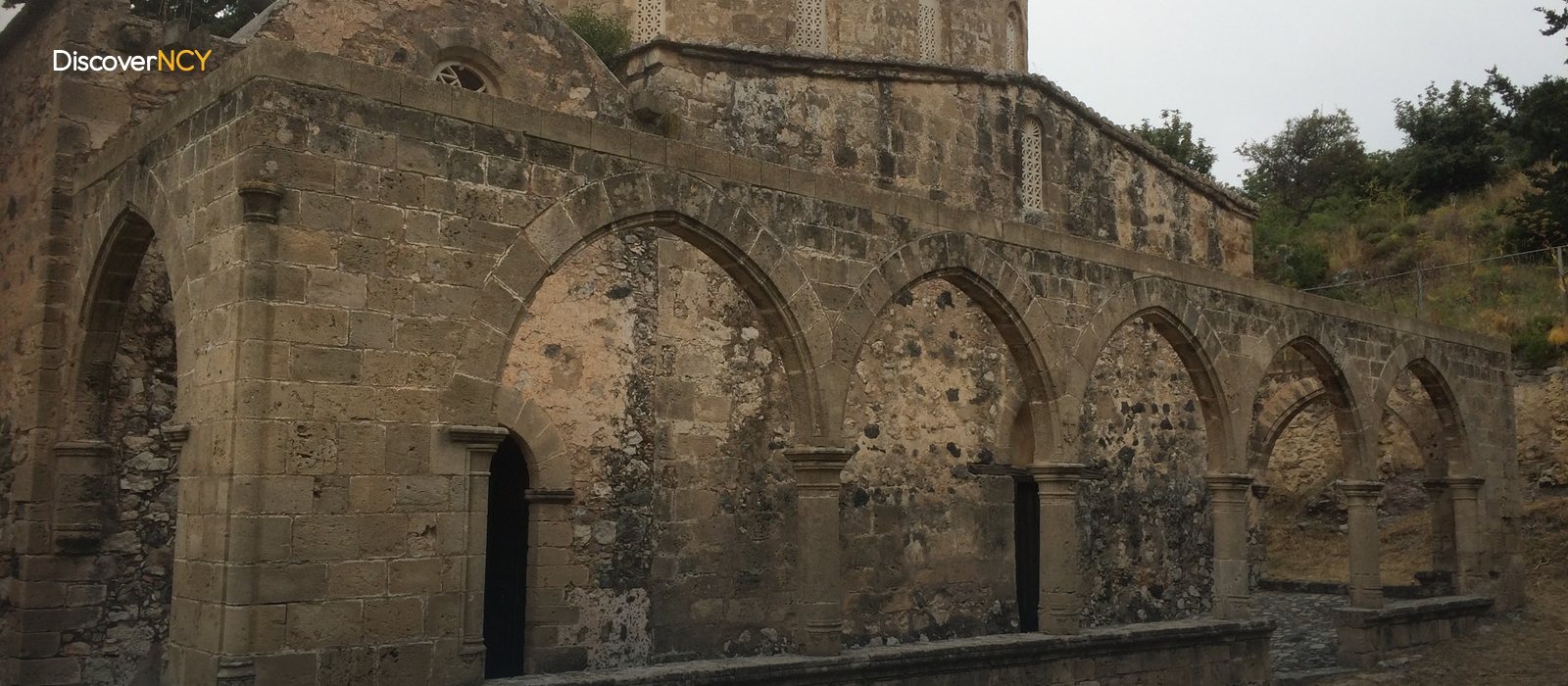
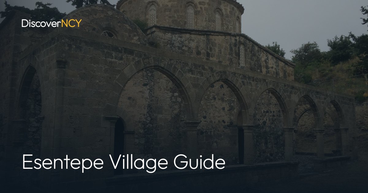
The church stands in the mountainous area above the village, near Kalograia, built over a natural spring at the head of a valley. It dates from the twelfth century and was originally attached to a Greek Orthodox monastery. Its most striking feature is its dome: this wide dome, carried on eight columns, has no other surviving example in Cyprus. Some interpretations link the dome's irregular shape to the Cyprus earthquake of 1222. The narthex on the west and the south portico were added much later, during the period of the Latin church, probably in the fifteenth century.
Inside, two separate layers of frescoes sit one on top of the other. In the twelfth-century layer you can see the "Virgin Mary", clergy, saints, deacons and depictions of stylites living atop columns, along with the Baptism scene on the south-west column. The fifteenth-century layer brought, on top of these, the detailed Last Judgement scene on the north wall, the Tree of Jesse on the south wall, the Pantocrator in the dome and a large-scale figure of St George in the narthex. On the lower rows there is yet another, altogether different layer: visitors' notes scratched in Greek and Ottoman Turkish, running from the eighteenth century into the twentieth. Among the dates left by those who carved their names into the walls, 1803, 1891, 1919 and 1958 can be read.
But where do the gaps on the walls come from? They are not all from the same period, as is often assumed. The researchers A. and J. Stylianou had already recorded in the 1960s-70s that part of the dome paintings was damaged, meaning the deterioration began before 1975. The losses became truly severe after that date: the heads of the twelfth-century angel frescoes in the apse were damaged and removed, the Last Judgement scene was badly harmed, and the Tree of Jesse was taken off the wall in its entirety. The iconostasis dated 1650, worked in blue and gold, was also removed together with its icons, most of them from the seventeenth century, among them an icon of the Archangel Michael dated 1659.
Some of the removed panels surfaced years later in a private collection in the Netherlands, and in September 2013 four of them came back. Official sources do not announce the opening hours, so before setting out it is worth confirming with the ticket office or the "Department of Antiquities and Museums".
The Narrow Strip Between the Mountain Foot and the Coast
The village's geography repeats the whole district in miniature: the Mediterranean to the north, the Kyrenia Mountains to the south, and a narrow strip of settlement between the two. The village sits on the eastward part of this strip, between sea and mountain. You can move from the coast to the mountain road within the same day, yet squeezing both into a single programme spoils the enjoyment of the visit. On the same strip stands "Korineum Golf & Country Club", a course that opened in April 2007 as the TRNC's first eighteen-hole golf course. Villa and housing-complex development has intensified around the course, and the village's general profile is described as quiet coastal living, dominated by retirees and summer-home owners.
The Road to the Church Passes Through Alevkaya
Antiphonitis cannot be reached directly from inside the village. When the church's location is described, only one route name comes up: the tracks and small mountain roads around the "Alevkaya Herbarium". The route leaves the coastal strip and connects to the roads that enter the Kyrenia Mountains, which directly changes the plan for the day. You need to factor in daylight for the return from the outset. If your vehicle has limited ground clearance, it is a good idea to ask locally about the route before heading up.
The Population Is Written as Two Separate Figures
In the official 2011 census, 1,754 people lived in the village settlement centre, and 2,414 within the municipal boundaries. The two figures definitely do not measure the same thing; the second gives the wider administrative unit that also covers the surrounding neighbourhoods, so when you read a population figure somewhere, you need to check which one is being quoted. The village took its share of the population changes after 1974, and some of today's residents come from migrant families of Trabzon origin. The most visible day in the local calendar is the Esentepe Zerdali Festival, a celebration held for the wild apricot, whose opening was once performed by the President of the time, Mehmet Ali Talat. Apart from that, the days move quietly; there is no record of an announced fixed market day in the village, and shopping is done through small local businesses.
The Transport Calculation Before You Set Out
The backbone of getting here is Kyrenia: twenty-six kilometres east along the coast road, a thirty-minute drive under normal conditions. The time varies less with city traffic than with the character of the road itself, so don't cut your return time too fine. For those coming in their own car, the village itself is easy; the part that really slows you down is the section climbing into the mountains. The good news, by the way, is this: it is possible to see both the church and the village in a single day (provided you leave a generous margin for the transition between the two stops). But is half a day enough, or does it take a full day? If you cross the church off the list and only wander around the village, half a day is in fact enough; if you are factoring in the Alevkaya road, the day is full from the start.
| Field | Value |
|---|---|
| Turkish name | Esentepe |
| Former name | Agios Amvrosios (Άγιος Αμβρόσιος) |
| Other possible name | "Ayguruş" (single source, unconfirmed) |
| Location | Kyrenia district, east of Kyrenia town, between the foothills of the Kyrenia Mountains (Beşparmak) and the coast |
| Distance to Kyrenia | ~26 km, about 30 minutes by car |
| Municipality | Çatalköy-Esentepe Municipality, Esentepe branch (Atatürk Caddesi No:5, 0392 823 63 44) |
| Population (village, 2011 census) | 1,754 |
| Population (municipality, 2011 census) | 2,414 |
| Elevation | No published figure |
| Antiphonitis Church | 12th century, dome on eight columns, near Kalograia |
| Frescoes | 12th-century Komnenian layer, 15th-century post-Byzantine layer |
| Losses and returns | Iconostasis and fresco losses after 1975, 1 icon returned from Athens in 1998, 4 panels from the Netherlands in September 2013 |
| Visiting hours | Not published, confirm at the ticket desk or with the Department of Antiquities and Museums |
| Access to the church | Footpaths and mountain roads around the Alevkaya Herbarium |
| Golf course | Korineum Golf & Country Club, North Cyprus's first 18-hole course (April 2007) |
| Local event | Esentepe Apricot Festival (annual) |
For the neighbouring village at the western end of the same municipality, see our Catalkoy guide; for the mountain stop the church road passes through, the Alevkaya herbarium page; and for the course on the coastal strip, our Korineum golf course article.