Geçitkale (Lefkoniko) Village Guide
📍 Geçitkale, Famagusta
You've landed on the island; all of today's scheduled flights come into Ercan Airport. Between September 2002 and May 2004, though, the order was reversed, because while Ercan was being renovated the country's main civil airport was operating at Geçitkale. A village in the middle of the Mesaoria plain was the island's air gateway for two years, and its name is still mentioned first with that runway. No current scheduled passenger service departing from the same runway is announced, though. The village's old name is Lefkoniko, and what really puts it into a travel programme is its position in the middle of the plain and the fact that it stands on the Karpaz road. This settlement within the plain appears with three different figures in the population table, and on the road map right in the middle of the only first-class route leading up to the peninsula.
The Runway's Civil Past Was Short
According to the official source, the airport opened for service on 7 March 1986 as an alternative to Ercan. The real task came in September 2002, because when Ercan went into renovation, scheduled flights were shifted to this runway. The runway was operated as the country's primary civil airport until May 2004, and for those two years the passenger traffic arriving on the island passed through this terminal. Nor is the airport's civil identity entirely erased today: the code GEC on the IATA side and LCGK on the ICAO side still stand in the registers. A code remaining in the register does not mean a scheduled flight operates there today. This history is the village's best-known side, and the least useful detail when building a travel plan.
The Farming Belt in the Hot Heart of the Mesaoria
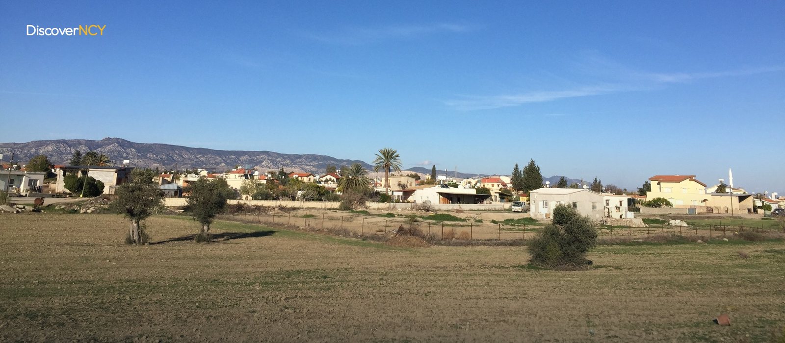
The village lies within the Mesaoria plain, which covers the island's central belt. Because there is no marked rise in this part of the plain, the horizon opens far into the distance along the road. Its surroundings also appear as a separate unit in agricultural statistics, covering ten settlements under the name "Geçitkale region". The land shared by these ten settlements is largely given over to fields, followed by forest and pasture. But what does a village in the middle of the plain live on? The backbone of the economy is farming and livestock, so the land's own distribution has also shaped the way of making a living.
The plain's second defining factor is temperature. The TRNC Meteorology Department keeps one of its official measuring stations here, and the station's location is no coincidence, because the Mesaoria is known as the hottest region of the island's interior. The 34.8 degrees measured on 16 March 2025 went on record as the highest March temperature of the last fifty years. In winter night frost is seen more often than on the coast, while in summer the temperature can exceed the coastal strip by a few degrees. This difference between coast and plain becomes especially pronounced in the summer months. This is, in all but name, a typical inland climate.
Three Different Population Figures Are in Circulation
The village officially gained municipality status in 1939 and kept it for more than eighty years. When it merged with Serdarlı in 2022, the "Geçitkale-Serdarlı Municipality" emerged, gathering two neighbourhoods and thirteen villages under one roof. Since the same reform merged municipalities in other villages of the country too, the change here is not considered an exception. And it is after this merger that the population question got muddled, because the same name now denotes three different boundaries at once. In the 2011 census 1,253 people lived in the village itself, while in the same census the total within the new, wider municipal boundary is 6,030. In between, a figure in the two thousands belonging to the narrow pre-merger municipality is also in circulation. Which of the three is the village's population?
None is the right answer unless you say which boundary is being measured; the village's own figure is 1,253. At first glance these three numbers look interchangeable, yet each measures a different map. For comparison we also have an old census: in 1960, 2,358 people lived in the same place, so in half a century the population has clearly shrunk. The trace of that shrinkage can be followed in the street today, because the village was built on top of a past bigger than its own population.
The Church Portico and the Cooperative Founded in 1909
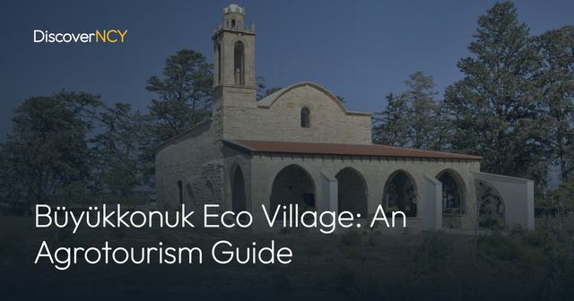
Two details stand out in the street fabric. One is the Church of the Archangel Michael, dating back to the 12th century, known for the portico on its southern façade and restored between 2016 and 2017 with European Union funding. The other is not a building but a date, because the first cooperative in Cyprus was founded here in 1909. For anyone who wants to see today alongside the past, the village has its own sports club: Günay SK plays in the national leagues with women's and men's teams. In June 2018 the village joined the Cittaslow network and became the country's fourth slow city. This title describes the village's pace; it does not offer the visitor a list of facilities.
The Midway Stop on the Karpaz Road
The first-class road up to the Karpaz Peninsula runs along the Nicosia-Geçitkale-Iskele line. The name of this route explains the village's position better than all the distance figures. The same axis forms the backbone of the drive from Nicosia to the tip of the peninsula: the road turning north links to the coast, and the road continuing east links to the Karpaz. The coastal village of Tatlısu (Akanthou) to the north is about twelve kilometres away, and this short margin makes one of the practical ways of getting from the plain to the coast. Famagusta and Nicosia sit in a band of thirty to forty kilometres, because the figure varies by source. That band also makes a day trip from either city possible. Nearby is İncirli Cave, but that cave belongs to the village of Çınarlı. When all this adds up, what emerges is a junction rather than a destination. A programme heading from Nicosia towards the Karpaz can comfortably fit its lunch break here.
Getting Here Still Depends on a Car
The only practical way to get here is a private or rented car; the idea of arriving by scheduled flight is ruled out from the start. A driver coming from the Ercan direction heads east along the same plain, and since the road is first class, no surprises are expected on the driving side. On timing, spring and autumn are clearly ahead, because the temperature difference described above makes itself felt immediately at summer noon. That is why it is wiser to leave the July and August midday hours out of the programme. There is no obstacle for winter visitors, only the chance of frost towards dawn to take into account. It is worth setting out in the morning hours; only then can you fit both the church and the plain into the same programme. On a one-day Mesaoria tour, this place is the size of a stopover.
| Field | Value |
|---|---|
| Former name | Lefkoniko |
| Location | Mesaoria plain, Famagusta district |
| Coordinates | 35°15'36" N, 33°43'54" E |
| Administrative status | Geçitkale-Serdarlı Municipality since 2022 |
| Municipality covers | 2 neighbourhoods and 13 villages |
| Population (village) | 1,253 people, 2011 census |
| Population (wider municipality) | 6,030 people, 2011 census |
| Population (village, 1960) | 2,358 people |
| Historic building | Church of the Archangel Michael, 12th century |
| Restoration | October 2016 - October 2017, EU-funded |
| First cooperative | 1909, the first in Cyprus |
| Cittaslow membership | June 2018, North Cyprus's 4th member |
| Airport opened | 7 March 1986, as an alternative to Ercan |
| Period as main civil airport | September 2002 - May 2004 |
| Aviation codes | IATA GEC, ICAO LCGK |
| Current scheduled civil flights | Could not be verified |
| Distances | Tatlısu about 12 km, Famagusta and Nicosia in the 30-40 km range |
For the coastal village twelve kilometres to the north see our Tatlisu village page; for the cave in neighbouring Çınarlı there is the Incirli Cave guide, and for the rest of the road east the Karpaz Peninsula guide.