Some of what circulates about North Cyprus is cliché repeated by people who have never set foot on the island; some of it belongs to the South but gets credited to the north, because on a map the island looks like one piece and nobody notes which side a given fact falls on. Every one of the twenty items we have compiled here traces back to a source; none of them stops at the level of "so they say". As we have mentioned in earlier articles, some become obvious the moment you get behind the wheel, while others only show up in a regulation number. Claims resting on a single rumour did not make the list, which is why a few of the "most" and "biggest" lines you hear so often are missing. The list starts behind the wheel. Let's take a look.
Traffic Has Flowed on the Left Since 1878
The reason for driving on the left is the British administration that began in 1878. Independence came in 1960, the system stayed, so the habit has continued uninterrupted for more than a hundred and forty years. For a driver coming from Türkiye, the real test starts at the first junction. On a right turn you place your car not in the lane next to the kerb but in the widest lane on the far side of the road, and you overtake the car in front on its right, so two reflexes built up over years start working backwards at the same time. Roundabouts take this a step further, because in the circle priority belongs to the vehicle approaching from the right and you go round clockwise. Our suggestion: run these three rules through your head before you set off; all three will come at you one after another on the road.
Once the surprises on the road are over, it is the socket's turn. Voltage and frequency are exactly the same as in Türkiye, 230 volts and 50 hertz. The plug shape, however, follows the British standard, and on the wall you will see a type G outlet with three rectangular metal pins. Your Turkish device will not fit it. Budget for an adaptor in your bag from the start...
The Legend of the Kyrenia Mountains and the Donkeys of Karpaz
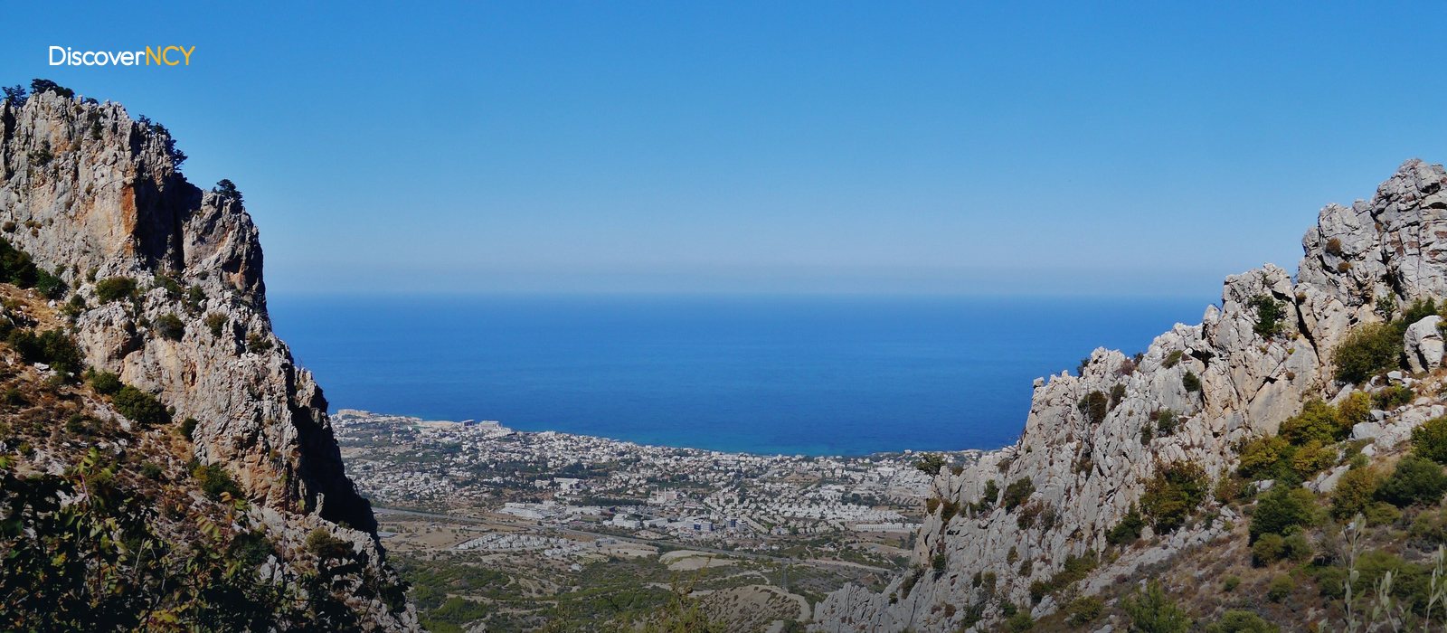
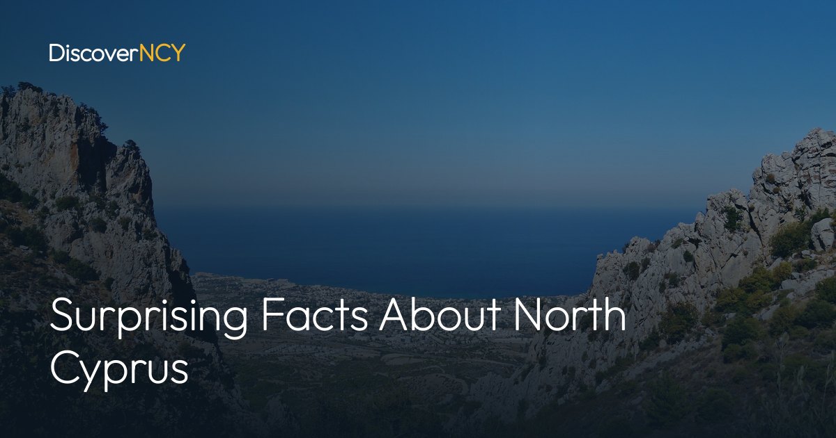
The name of the mountains behind Kyrenia comes from a legend, though not from a single one. In one telling, the Byzantine giant-hero Digenis Akritas grips the mountain as he leaps across to Anatolia, and the print of his five fingers stays in the rock. The other telling is darker: two young men duelling over a girl are swallowed by a swamp, and all that remains above ground are the five fingers of one hand. Which version counts as the real story? In the records we went through, both circulate with equal weight, and since the Greek name of the range, Pentadaktylos, also means "five fingers", the two communities share the same legend frame.
On the same ridge stands the Alevkaya Herbarium, opened on 9 November 1989; on opening day the collection held specimens of 450 species, 21 of them endemic. Today the number has reached roughly 1,250 specimens. Around seven hundred and fifty plant drawings by the botanist Viney are housed in the same building.
On the Karpaz Peninsula the list turns to animals. The free-roaming wild donkeys are protected by national park and Special Environmental Protection Area status; judging by reviews online in particular, you can come across herds of them on the roads. Their numbers are counted in the hundreds. Protection is even stricter on the beaches: the Alagadi and Karpaz shores are nesting grounds for the Caretta caretta and the green sea turtle (Chelonia mydas). Egg-laying runs from May to August, and the hatchlings emerge from the sand between August and October. During that period Alagadi beach is closed between 20.00 and 08.00 at night, and you only go down to the sand accompanied by SPOT (Society for the Protection of Turtles) volunteers.
Thousands of Years Beneath the Stone
The history told about North Cyprus usually starts with the castles, but in our view the oldest item on the list is under the soil. In Çatalköy, nine kilometres east of Kyrenia, there is a Stone Age coastal settlement partly buried in the ground; at the site known as Ayios Epiktitos-Vrysi, at least fifteen houses, two passageways and courtyards were uncovered. The people who lived here grew grain and kept animals, and the excavations also turned up remains of olives and grapes. Edgar Peltenburg led the dig between 1969 and 1973. Beneath a spot that looks ordinary today lies a neighbourhood thousands of years old, and its age is still debated...
In Nicosia, history shifts forward by a few thousand years. The foundations of Selimiye Mosque were laid in 1209 for a Gothic cathedral, and the Lusignan kings were crowned here; the building was converted into a mosque after the Ottoman conquest of 1570, and its two minarets were added in 1572. That same year Muzaffer Pasha, the first Ottoman governor appointed to the island, had Büyük Han built. In the courtyard of the two-storey cut-stone caravanserai stands a small masjid, whose octagonal plan you can make out from the courtyard.
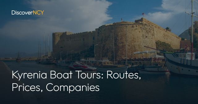
The shipwreck in Kyrenia Castle is a 2,300-year-old Ancient Greek merchant vessel; it was found in 1965 by the diver Andreas Cariolou and raised piece by piece between 1969 and 1974. The ship's real record is this: it is the oldest Ancient Greek merchant ship to survive to our day in its entirety. Don't miss the distinction, though: the title "the world's oldest shipwreck" you so often read belongs not here but to Uluburun.
Halloumi on the Table, Turkish Lira in the Wallet
Halloumi (hellim) received protected designation of origin in the European Union under Implementing Regulation 2021/591 of 12 April 2021, and the registration came at the end of a seven-year wait. So does this protection also cover producers north of the Green Line? It does. Turkish Cypriot producers reach the EU market through the Green Line Regulation, with Bureau Veritas carrying out the inspections, and in our research we find that three halloumi factories and twelve dairy farms have been certified so far.
The wallet side is simpler: the TRNC does not print its own money, and the official and de facto currency is the Turkish Lira. The banknotes and coins used in Türkiye are accepted on the island as they are.
At the entry gate, two details affect your budget directly: a Turkish citizen enters without a passport, and the new-style chip ID card is enough. The old-style identity booklet, on the other hand, has not been accepted since 30 June 2021, and the rule applies to babies exactly the same way. A passenger entering with an ID card is exempt from the 1,250 TL overseas departure fee paid by those leaving on a passport. For a family of four, that exemption adds up to a difference of close to five thousand lira.
How Much Is 9,251 Square Kilometres?
The part most often skipped on the list is the numbers. With a surface area of 9,251 square kilometres, the island is the third largest in the Mediterranean, behind only Sicily and Sardinia. The Green Line that cuts the island from end to end runs for roughly 180 kilometres, and because of this line Nicosia is still the world's last divided capital.
In Varosha, on the other hand, the unit of measure is not kilometres but time. From 1974 to 2020, for a full forty-six years, the area remained a place nobody could enter; only a 1.5-kilometre stretch of the shoreline was opened to visitors along a designated route on 8 October 2020.
Under the water sits a number of a completely different kind. A pipeline brought into service in 2015 carries drinking and irrigation water to the island from the Anamur district of Türkiye; the undersea section of the line descends to a depth of 250 metres, and the pipes were laid for the first time in the world using the "suspended pipe" technique, fastened to 134 suspension cables. The line carries an average of 75 million cubic metres of water a year, so part of what runs from your tap comes from under the sea.
What the twenty items have in common is that each ties back to a date, a figure or a regulation clause. For the record, we compiled the sources as of September 2026. We suggest you hold any new claim you read about North Cyprus to the same measure...
| Field | Value |
|---|---|
| Number of facts | 20, all sourced |
| Island area | 9,251 km², third-largest island in the Mediterranean |
| Driving side | Left, since 1878 |
| Roundabout priority | Vehicle coming from the right |
| Plug type | Type G, three-pin, 230V / 50Hz |
| Currency | Turkish lira |
| Entry document (Turkish citizens) | New-type chipped ID card |
| Exit fee exemption | 1,250 TL (2026) |
| Halloumi registration | (EU) 2021/591, 12 April 2021 |
| Green Line | About 180 km |
| Closed Varosha (Maraş) | Closed 1974-2020, 1.5 km opened on 8 October 2020 |
| Alevkaya Herbarium | 9 November 1989, about 1,250 specimens |
| Turtle season | Nesting May-August, Alagadi closed at night 20.00-08.00 |
| Water pipeline | 2015, average 75 million m³ per year |
| Name equivalents | Girne-Kyrenia, Lefkoşa-Nicosia, Gazimağusa-Famagusta |
| Source access date | 17 September 2026 |
To see some of these items for yourself, browse our guide to the historic sites of North Cyprus, check the Alagadi turtle watching season for the dates of the turtle nights, and read our Varosha visit guide for the shoreline that stayed closed for forty-six years.